
If you’ve spent much time on Twitter you’ve probably seen some version of this meme in the past.
Israel's theft of Palestinian land #Palestinian #SavePalestine #IsraelTerrorists pic.twitter.com/0rWvmWWVPS
— Global Memes🌏🖤 (@GlobalMemes5) May 20, 2021
There are lots of variations of this but they all purport to tell the same story of land “stolen” from Palestinians by Jews. The series of maps above looks very similar, right? Well, that version appeared in the NY Times yesterday as the illustration for a piece by a Palestinian titled “The Myth of Coexistence in Israel.”
But there’s a reason the meme above is usually posted by sketchy people calling Israel terrorists. That’s because the meme itself is extremely misleading. Back in 2015, writer Shany Mor wrote a lengthy article about all the ways this meme is inaccurate. It’s difficult to summarize his detailed piece so here’s a sample dealing with just that first map.
Taking each map in turn, it is easy to demonstrate that the first one is by far the most dishonest of the lot. As far as I have been able to determine, it is based on a map of Jewish National Fund (JNF) land purchases dating roughly from the 1920s. The JNF was founded to purchase land for Jewish residents and immigrants in then-Palestine, and was partly funded through charity boxes that were once found in almost every Jewish school and organization in the West. Ironically, this map often adorned those ubiquitous boxes.
The dishonesty of using an out-of-date map for pre-1948 Jewish land purchases is actually relatively minor. So is not omitting the political context: After 1939, Jews were forbidden from making any further land purchases by British authorities, a measure taken as a sop to Arab terrorism. Even the deceptive use of JNF land and only JNF land as a proxy for the entire Palestinian Jewish presence is but a trifle compared to the epic lie represented by this map: It deliberately conflates private property with political control.
They are not at all the same thing. The simple fact is that none of pre-1948 Palestine was under the political authority of Arabs or Jews. It was ruled by the British Mandatory government, established by the League of Nations for the express purpose of creating a “Jewish National Home.” It was also—contrary to the claims of innumerable pro-Palestinian activists—the first time a discrete political entity called “Palestine” existed in modern history. And this entity was established in order to fulfill a goal that was essentially Zionist in nature.
But this lie is compounded by another that is even more epic in scope: Labeling every single patch of land not owned by the JNF as Arab or Palestinian. This was quite simply not the case. We have incomplete data on land ownership in modern Palestine, and even less on Arab property than Jewish property, partly due to the very complicated nature of property law in Ottoman times. But anyone’s map of private property in Mandatory Palestine from this period would be mostly empty—half the country is, after all, desert. It would show small patches of private Jewish land—as this map does—alongside small patches of private Arab land, as this map shamelessly does not.
And after reviewing the problems with the other three maps, here’s a bit of Mor’s conclusion:
Taken together, what we have is not four maps in a chronological series, but four different categories of territorial control presented with varying degrees of inaccuracy. Those categories are private property (“1946”), political control (“1967” and “2005”), and international partition plans (“1947”). They are presented in a fashion that is either tendentiously inaccurate (“2005”), essentially mendacious (“1947” and “1967”), or radically untrue (“1946”).
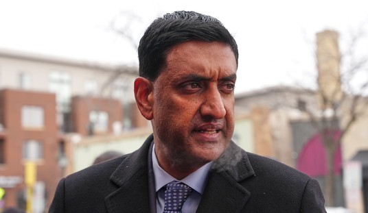
Today the NY Times deputy opinion editor offered an explanation to someone who asked why they used this discredited image. He apparently said it was “art” though as far as I can tell, this explanation hasn’t been published anywhere by the Times or on Patrick Healy’s own Twitter account. Shany Mor, the author of the above piece on the meme, had some thoughts. (Note that he tagged Healy in his tweet many hours ago and I don’t see Healy or anyone else claiming this response is inaccurate.)
The deputy editor of the @nytimes opinion page @patrickhealynyt has responded to objections regarding the fake maps his page ran yesterday. This is a radically inadequate explanation, in at least two ways, which I will explain below. pic.twitter.com/x4598M5WJ0
— Shany Mor שני מור شني مور (@ShMMor) May 27, 2021
One might think from reading @patrickhealynyt's response that this was just a shrinking blot on a map. That might be just art making a political point. But this is an exact copy of well known agitprop, and ,most importantly, verifiably false. That shouldn't sneak by an editor.
— Shany Mor שני מור شني مور (@ShMMor) May 27, 2021
To reproduce here as a reason for the phoney maps compounds the dishonesty.
The idea that this is a remotely honest account of the events surrounding Israel's independence or the refugee crisis that ensued is outrageous.
— Shany Mor שני מור شني مور (@ShMMor) May 27, 2021
My thoughts from yesterday:https://t.co/XiQUZNfVAj
— Shany Mor שני מור شني مور (@ShMMor) May 27, 2021
Taking a discredited meme which claims to present factual information and labeling it art seems like a pretty bad idea for the paper of record. In contrast, here’s MSNBC’s walk back after they showed the same meme on air back in 2015:
Update: Legal Insurrection wrote about this yesterday as well. Bill Jacobson asked the person who posted the response from the NY Times (“It is art”) for the full email exchange and got a copy of it. You can read the letter sent to the Times complaining about the map and Deputy Opinion editor Patrick Healy’s complete response over at LI.


Join the conversation as a VIP Member